This is a real report on a real address, shown in full. Yours would look like this, for your address. $4.90.
Run one on your address →
11 Chūinchō, Nara
Before you go —
The climate, the ground, the hazards on the map,
and how far things really are.
The parts a guidebook leaves out.
What this trip turns on
The facts that decide whether a day here works. Whether it is the right day is yours to decide.
What kind of place this is

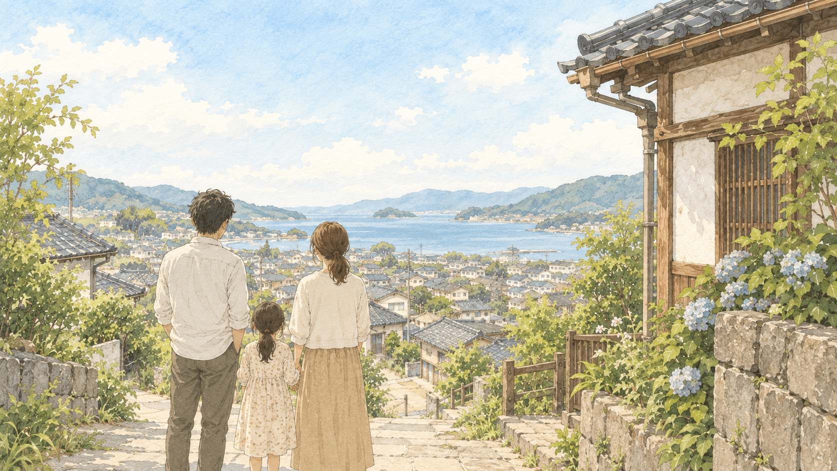
Naramachi, the district that includes Chuincho, grew up on the former precinct grounds of Gangoji (元興寺), a temple, with settlement continuing from the medieval period onward around its temples and shrines. Once part of the northeast of the ancient capital Heijo-kyo, the area shifted over time from a temple town ('Nanto') to a merchant district and later to a tourism area. Nara City has designated the district within its 'Naramachi and Nara Park' historical townscape preservation zone, protecting machiya (町家) — narrow-fronted, deep 'eel's-bed' style townhouses — and temple buildings dating from the Edo period to the early Showa period. Low timber buildings along narrow lanes are what remains of that townscape, and the city maintains a subsidy scheme for preserving designated historic structures within it.
The place on the map
We found no Convenience store within the radius we searched. Worth checking on the ground.
Walking times are estimated at 80 m per minute from straight-line distance — the convention in Japanese property listings — so they are not measured routes. Places from Google Maps.
Timetables in Japan are revised, and a rural bus route can mean a handful of departures a day. Open the timetable for current times, and check on the ground that something runs when you would need it.
Getting there, and getting around
From Tokyo, the usual route is Shinkansen to Kyoto Station (about 2 hours), then either a Kintetsu train (35–50 minutes to Kintetsu-Nara Station) or the JR Nara Line (45–70 minutes to JR Nara Station). From Osaka or Kyoto, Kintetsu is the more direct option, with a limited express from Kyoto taking about 35 minutes and rapid services running roughly four times an hour; from Shin-Osaka, either Kintetsu or the JR Yamatoji Line can be used. Kintetsu-Nara Station is about 1 km from JR Nara Station and is the closer of the two to Nara Park and Naramachi, about a 5-minute walk away. Common IC cards (Suica, ICOCA, PASMO, etc.) work on ordinary JR and Kintetsu trains, and Naramachi itself is a walking-scale district once you arrive, suited to a car-free itinerary. Timetables and fares change, so these should be checked again close to the date of travel.
Times are Google’s walking routes, not straight lines, with the total climb from the route’s elevation profile. They do not know about pavements, lighting after dark, or a suitcase. A climb of 30 m or more with luggage is worth planning around.
Food and daily essentials
From Google Maps. We do not check opening hours or whether a place is open on the day — in a small town, a Tuesday can be very different from a Saturday.
In March
The elevation is measured at this exact point (Geospatial Information Authority of Japan). The climate figures are not from this address — Japan has 157 official weather stations, and these are the 1991–2020 normals from the nearest one. Distance and a difference in elevation can both make the real feel of a place differ from these numbers. Source: Japan Meteorological Agency.
Natural hazards

Nara City's hazard map lists 23.0% of the whole municipality as designated flood-inundation zone, with a maximum assumed depth of 10.0 m from rivers such as the Saho-gawa and Jizoin-gawa, and two landslide-warning areas citywide; these are city-wide totals rather than figures specific to Naramachi, which sits on flat, inland ground in the Nara Basin, away from the rivers named as the main flood sources. Tsunami-inundation zoning covers 0.0% of the city. The address itself sits at an elevation of 88.6 m according to Geospatial Information Authority of Japan survey data. The nearest weather station, Nara, about 0.7 km away, records an annual mean temperature of 15.7°C, annual precipitation of 1365.1 mm, and averages of roughly 73 hot days, 31 cold days and 34 snow days a year.
Source: Geospatial Information Authority of Japan — designated emergency evacuation sites. Names are in Japanese on purpose — that is what the signs say.
How to be a welcome visitor
Most of the places this report covers are where people live, not sights built for visitors. A few habits make the difference between a guest and a nuisance — and they are the same ones that make locals talk to you.
Old houses are what you came to see, and someone lives in most of them. Photograph the street, not the window. If a gate is open, it is not an invitation.
A lane that looks like a footpath is often the only way a delivery van or a neighbour's car gets through. Step aside rather than making them wait, and do not stop in the middle to take a picture.
Fishing harbours have working areas — ropes, nets, boats being unloaded. Watch from the road unless someone waves you in. Beach-going clothes are for the beach; put something on before walking through the town.
There are very few public bins in Japan. Whatever you buy, you carry the wrapper until you find a bin — usually back at the convenience store or the station. Nobody will tell you off; they will just remember.
Sound carries in a small town. Voices on a lane after ten at night reach every bedroom along it.
You are welcome in the grounds. Photograph the buildings, not the people praying; and look for a sign before photographing inside a hall — some allow it, many do not.
Flying a drone over houses or a harbour needs permission you almost certainly do not have. Leave it in the bag.
— Masayuki
If something goes wrong
119 is fire and ambulance; 110 is police. Both are free from any phone. Say the place name slowly, in English if you have to — operators are used to it, and the call is located. An ambulance is free; the hospital visit afterwards is not.
The nearest hospital in this report is the one Google lists as a hospital, not the nearest clinic. Bring your passport and travel insurance details. Pharmacies (薬局, yakkyoku) sell most everyday medicines without a prescription.
If the ground shakes hard near the coast, do not wait for an announcement: walk uphill or to the designated evacuation site listed in this report. Phones sound a loud alarm for major earthquakes and tsunami — it is not a test.
Trains and buses stop early on typhoon days, sometimes the evening before. If a typhoon is forecast, decide in the morning whether to leave, not in the afternoon.
Ask at the nearest convenience store or hotel to call a taxi (タクシー) — most small-town taxis are booked by phone, not hailed. Have the Japanese name of where you are going ready to show.
What we could not confirm
Whether the flood risk at this exact address matches or differs from the city-wide 23.0% flood-zone figure.
Enter the address into Nara City's published hazard map portal (bousaidb.jp) to see the designation at street level rather than the city-wide total.
A fuller year-by-year trend of visitor numbers for Nara City beyond the 2018 and 2021 figures could not be established.
Check Nara Prefecture's annual tourism statistics reports (観光入込客数統計調査報告書) for other years on the prefecture's official website.
Seasonal factors around this address — cherry-blossom timing, festival crowding, or accommodation availability — could not be confirmed from the sources gathered.
Check the Nara City tourism association website or seasonal event calendars closer to the date of travel.
Exact current timetables and fares for Shinkansen and local lines to Nara could not be confirmed and will change over time.
Check the official JR and Kintetsu railway websites, or a live timetable/fare app, shortly before travel.
KOKODEKIRU? is built around one rule: if public information cannot establish something, we say so rather than guess.
— Masayuki Nishimura, founder. Miura, Kanagawa.
Thinking about Japan beyond this trip?
If one day you start wondering what it might be like to live here, buy a place, or start something of your own — KOKODEKIRU? can help you look into that too.
Sources
This report was generated automatically from public sources. It does not check opening hours, seasonal closures, bookings, or today's weather and transport — those change, and only the operator or the day itself can tell you. Treat it as the part of planning a guidebook leaves out, and confirm anything your day depends on before you set off.
A first step
towards going there
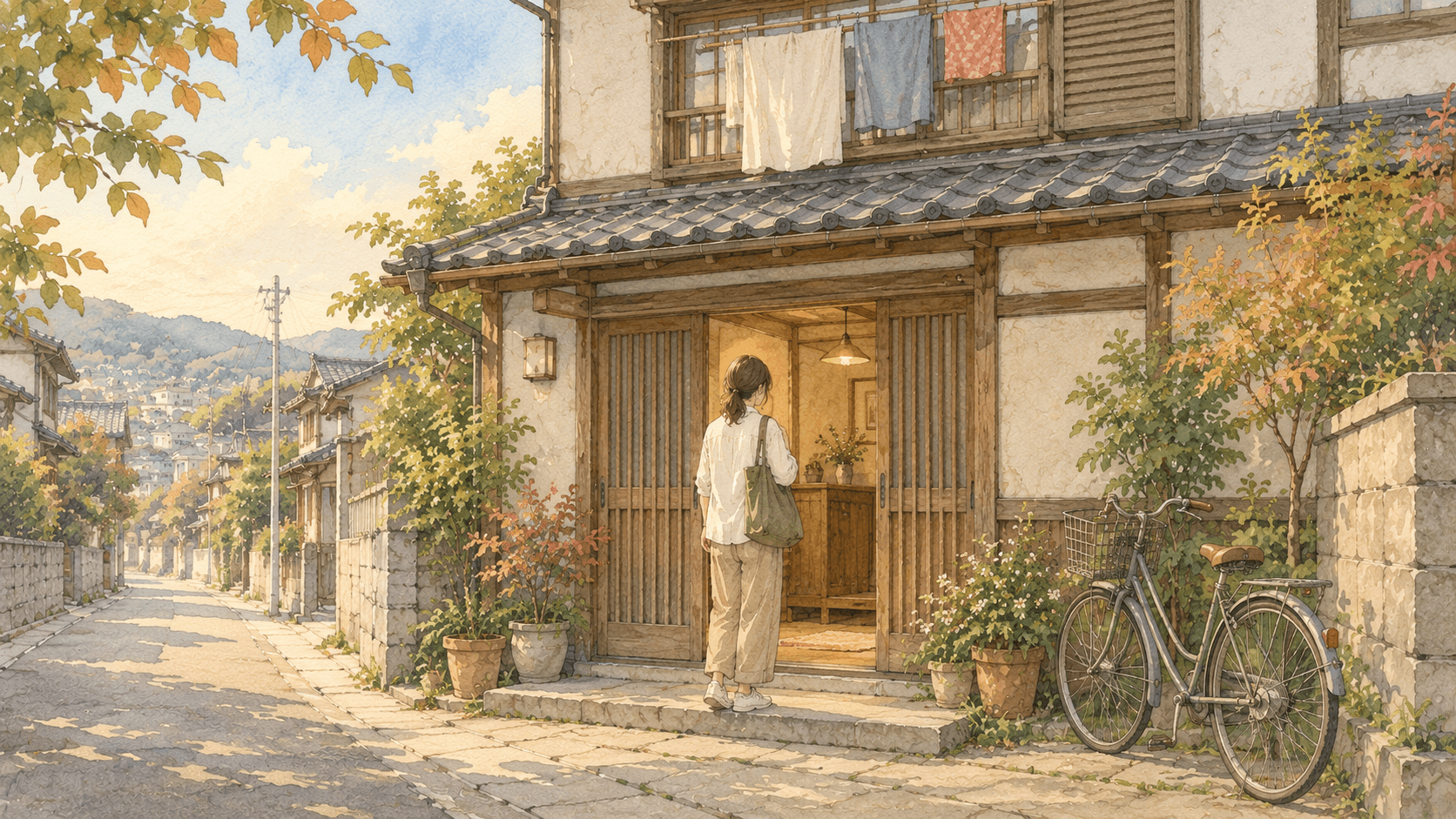
Chuincho sits inside Naramachi, the old lanes that grew up around Gangoji's former temple grounds — a suburban-feeling pocket of the city rather than a coastal or mountain setting, and one built for walking rather than driving. Coming to see it is straightforward from Kyoto or Osaka by train; what the place itself feels like on any given day is something the record can only point you toward, not settle for you.
If anything here matters to your trip, check it on the ground — the tourist information desk at the station is a good first stop.
This report was generated automatically from public sources. It does not check opening hours, seasonal closures, bookings, or today's weather and transport — those change, and only the operator or the day itself can tell you. Treat it as the part of planning a guidebook leaves out, and confirm anything your day depends on before you set off.
We have taken care with the contents, but we do not guarantee them. Distances on foot are from Google's walking routes where available and straight-line estimates otherwise; neither knows about a locked gate or a closed path. Where something matters to your trip, check it with the operator, the tourist information desk, or the city office.